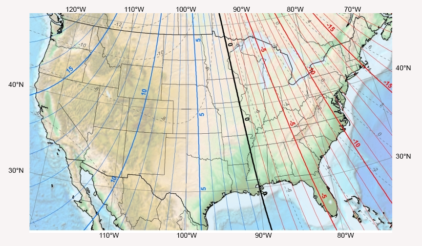
Determining True North and sensor orientation
The orientation of the WindSonic4 north arrow markers is found by reading a magnetic compass and applying the site-specific correction for magnetic declination; where the magnetic declination is the number of degrees between true north and magnetic north. Obtain the magnetic declination for a specific site from a USGS map, local airport, or through a NOAA web calculator (Online magnetic declination calculator). A general map showing magnetic declination for the Conterminous United States is shown in Magnetic declination for the conterminous United States (2015).
Declination angles east of True North are considered negative, and are subtracted from 360 degrees to get True North as shown A declination angle east of True North (positive) is subtracted from 360 (0) degrees to find True North (0° and 360° are the same point on a compass). Declination angles west of True North are considered positive, and are added to 0 degrees to get True North as shown in A declination angle west of True North (negative) is subtracted from 0 (360) degrees to find True North.
For example, the declination for Longmont, CO (10 June 2006) is 9.67°, thus True North is 360° – 9.67°, or 350.33° as read on a compass. Likewise, the declination for McHenry, IL (10 June 2006) is –2.68°, and True North is 0° – (–2.68°), or 2.68° as read on a compass.

