GOES, NESDIS, and transmit windows
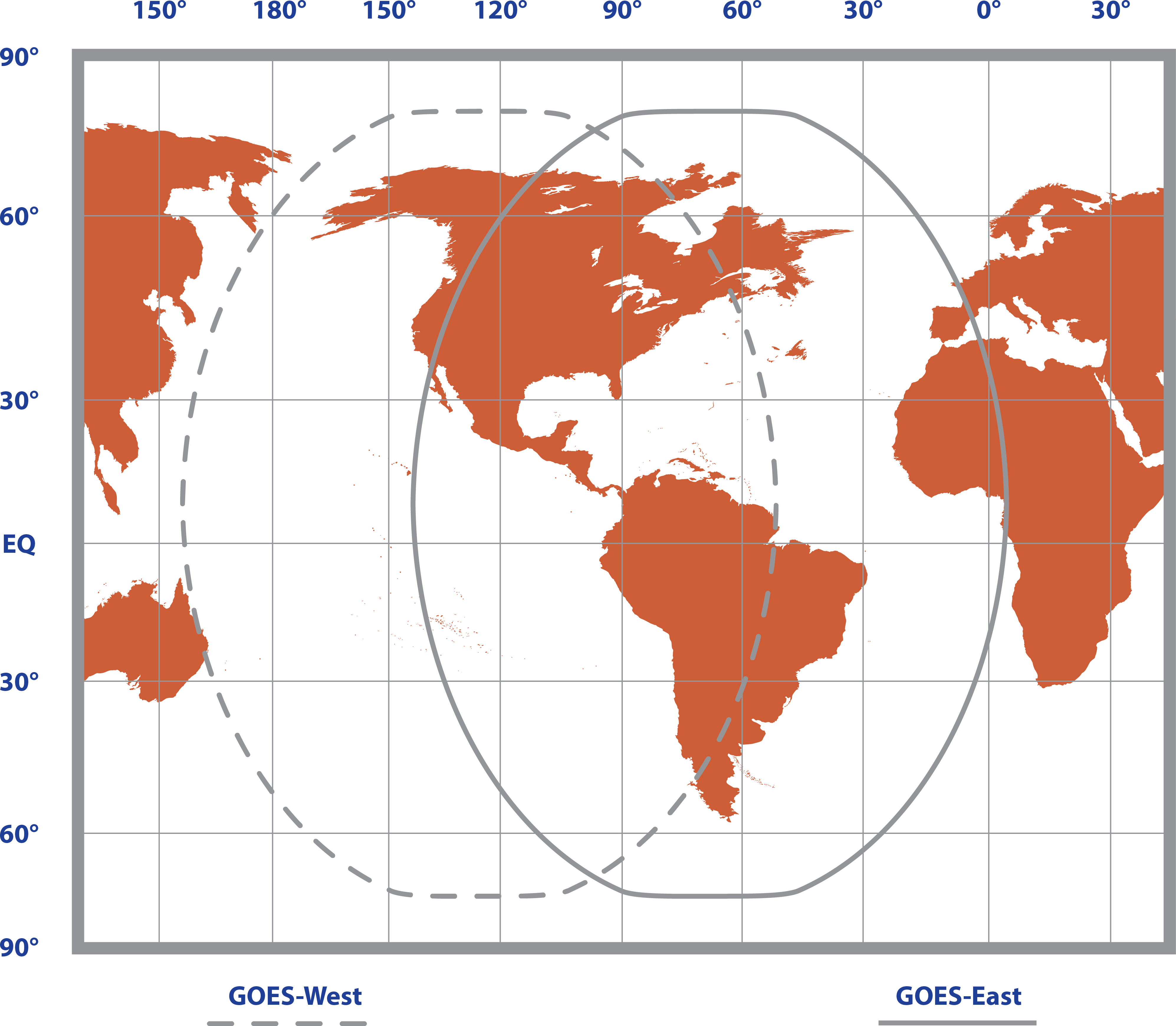
GOES coverage area is latitude 68° North to 68° South and longitude 150° East to 2° West (see Coverage of GOES East and GOES West satellites). GOES satellites have orbits that coincide with the Earth rotation, allowing each satellite to remain above a specific region (geosynchronous). GOES has two satellites: GOES East located at 75° West longitude and GOES West located at 135° West longitude. Both satellites are located over the equator. Within the United States, odd-numbered channels are assigned to GOES East, and even-numbered channels are assigned to GOES West. Channels used outside of the United States are assigned to either spacecraft.
The GOES system is administered by the National Environmental Satellite Data Information Service (NESDIS), which assigns addresses, uplink channels, and self-timed/random transmit time windows. Self-timed windows allow data transmission only during a predetermined time frame(typically 10 seconds every hour). Random windows are for applications of a critical nature, such as flood reporting, and allow transmission immediately after a threshold has been exceeded. The transmission is randomly repeated to ensure it is received. A combination of self-timed and random transmission can be executed by the TX325.
Refer to Eligibility and getting onto the GOES system for more information.